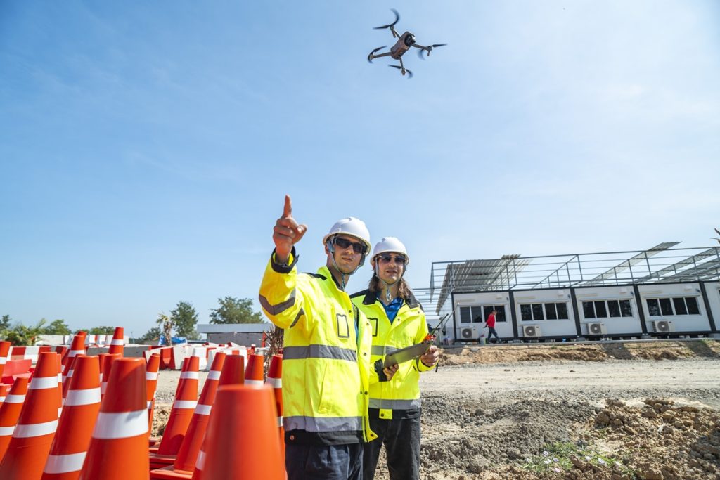
Choosing the right 3D mapping tool is a serious decision that can have a direct impact on the results of your work. It’s especially important to understand which parameters influence both the quality and operational usefulness of the solution.
So what should you pay attention to? Does price matter? We’ve prepared an article that answers all of your key questions. Discover SkyeBrowse and see why drone-based 3D mapping is far simpler than it might initially seem.
3D Mapping Software – Which Criteria Really Matter?
- The first parameter is resolution: Check whether the tool can accurately reproduce geometry (for example, precision measured in centimeters rather than tens of centimeters) and whether it delivers a high-quality textured model. For companies, fire departments, and law enforcement agencies, it’s not just an image — it’s evidence and measurement data.
- The second parameter is the time from recording to model generation: In operational work, every minute counts, especially during building inspections, traffic incidents, or fire response. A quick 3D model preview can mean a critical rescue decision or significant cost reduction.
- The third parameter is ease of use and implementation: Does the operator need to be a photogrammetry expert, does the interface allow simple operation, and can the user generate a model with a single click.
- The fourth parameter is data security and compliance: For public safety agencies, standards such as Criminal Justice Information Services (CJIS) Security Policy compliance are essential (meaning the cloud and processing systems meet strict security requirements), along with chain of custody, access tracking, and the ability to share models between pilots, analysts, and investigators.
- The fifth parameter is hardware compatibility and the range of measurement/sharing tools: Does the software work with popular drones (e.g., DJI, Autel), support both quick 2D maps and full 3D models, and offer measurement tools (lines, areas, angles), annotations, and GIS/CAD export capabilities.
It’s also important to understand the difference between traditional photogrammetry and the newer approach, videogrammetry. Photogrammetry relies on capturing a large number of still images from various angles, followed by complex stitching and 3D mesh generation. This process can take hours or days, requires significant computing resources, and often demands specialized knowledge. Videogrammetry, on the other hand, utilizes continuous video footage (e.g., from a drone), which provides a high number of frames with strong data redundancy. This allows algorithms to reconstruct the camera path, understand scene structure, and generate models far more quickly and efficiently. For inspection workflows or emergency response — where time and simplicity are critical — videogrammetry-based tools offer a major advantage.
You can find all details here: Drone 3D Mapping Pricing
Costs, Licensing, and Deployment – What Does It Really Cost, and Who Is It For?
When it comes to cost and licensing, SkyeBrowse offers flexibility. The Freemium plan is $0/month, allowing users to generate 2D/3D models without restrictions on core features. For more advanced tools, capabilities, and higher precision, the Pay-Per-Model option starts at about $3 per model, and subscription plans begin at approximately $39/month for the “Lite” plan. Higher-tier plans that include maximum resolution, enhanced accuracy, full support, CJIS-compliant cloud infrastructure, and extended assistance are priced individually.
Learn more about SkyeBrowse and explore the possibilities it provides: How much does a 3D mapping software cost?
What Does This Look Like in Terms of TCO/ROI?
Shorter incident scene documentation times, reduced road closures, fewer personnel required on-site, and faster reporting — all of these translate into real savings. According to the manufacturer, users save up to 80% of their data-processing time.
With proper implementation, licensing costs can be significantly lower than traditional methods (measurement equipment, scaffolding, classical photogrammetry). It also reduces the risk of errors and accelerates both business and operational decision-making. It’s worth exploring SkyeBrowse’s blog article that covers cost breakdowns, ROI, and accelerated cloud-based processing.